More map fun from the Library of Congress'
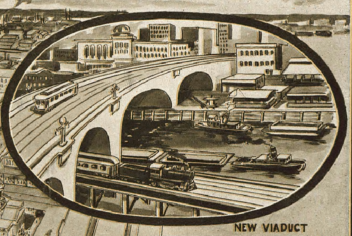
American Memories site. I really like their panoramic maps section. Houston has two maps online, an
1891 in color and a
1912 black and white.


This map faces south so that explains why Washington Ave is below Glenwood Cemetary.


No comments:
Post a Comment